PAUSED WHILE ROADS ARE CLOSED
Blue Ridge Parkway - Heartbreak Shuttle
Hurricane Helene caused massive damage on the Blue Ridge Parkway, Hwy 80 and Lower Heartbreak Ridge. Unfortunately, we do not have any projected dates when these roads and trail will be repaired. We badly want to resume this shuttle and will keep you posted here and on social media.
Parkway Drop at Mt. Mitchell
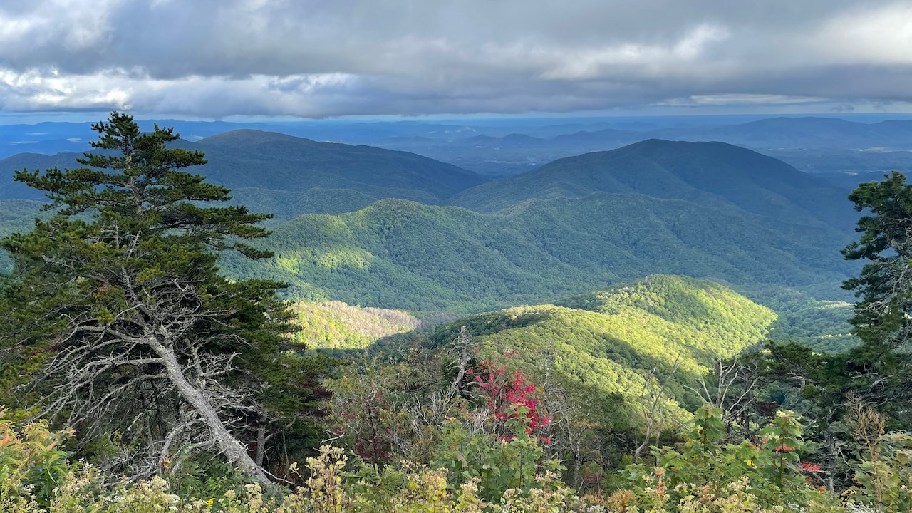
We drop you at the base of Mt. Mitchell State Park on the Blue Ridge Parkway at an elevation of 5,160 (Ridge Junction Overlook). You choose your own adventure.
Consult Trail Forks (Old Fort Map View) or MTB Project for route guidance. Full Heartbreak Route LINK
Shuttles run normal schedule on Saturdays and Sundays plus Thursday and Friday mornings during the summer. Feel free to call or email for a specific day/time for your crew.
Check out Dusty Trails MTB video descent of Full Heartbreak! Channel
PARKWAY INFO
Please note that our permit with the Blue Ridge Parkway only allows exiting to official roads. In the Mt. Mitchell area this includes: Old Mitchell Toll Road, South Toe River Road, Neals Creek Road and Curtis Creek Road. You should consult Trailforks or MTB Project for routes linking via these access points.
CLOSURES: Old Mitchell Toll Road is closed to bikes from October 1 - December 31st each year. Please respect the land owners who allow access!
Parkway Date Restrictions: We cannot shuttle on any Federal Holiday Weekend or during the entire month of October. Our available bookings reflect these restricted dates.
8/22/2024 - Coming Soon - alternate route and drop off for October and Holiday Closures >>> STAY TUNED!!! This will depend on the opening date of the Glass Knob trail which will connect Newberry Creek Trail to Heartbreak Ridge. This drop off will increase your climbing (1.5 mile connector with roughly 650 feet of gain). Still, a Full Heartbreak with 1300 feet of climbing and 4,280 descent isn’t too bad… Estimated to be open around November or December 2024.
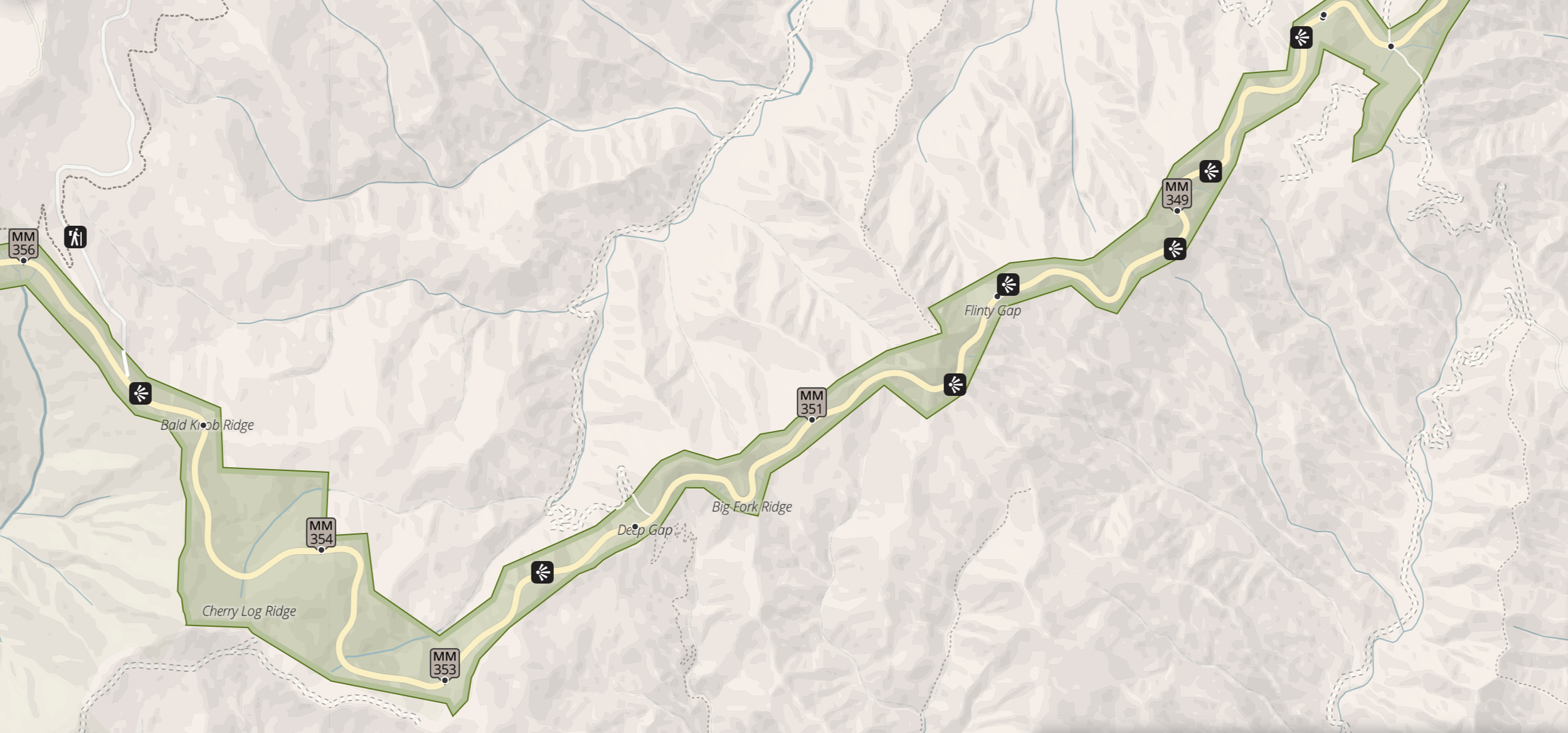
Parkway Road Closures: The Parkway sometimes closes for ice, snow and downed trees. Click link to closure map and scroll down to miles (344.2 - 355.3 NC Hwy 80 to Mt Mitchell State Park)
Lower Heartbreak Ridge
On May 3rd 2024, Lower Heartbreak opened after an exciting build by Geosculpt Trail Designs and Black Diamond Trail Designs.
This is by far the longest downhill MTB trail on the East Coast. 12.4 Miles and 4,280 ft of descent!!!
Full Heartbreak starts at the Blue Ridge Parkway on the Old Mitchell Toll Road before joining Heartbreak Ridge 2 miles later. At the Star Gap junction, a left-hand turn sends you down to Jarrett Creek Road where a right-hand turn brings you back over to Lower Heartbreak Ridge. After ripping down Heartbreak, you end up on Copper Ridge Trail which takes you down to the Camp Grier access road just 1/2 mile from down town Old Fort.
Map of Full Heartbreak Ridge (Blue Ridge Parkway to Old Fort)
Map of Shuttle Drop at Ridge Junction Overlook to Heartbreak Ridge via Old Mitchell Toll Road
There are several ways to ride Heartbreak.
FULL HEARTBREAK (12.4 Miles with 700 ft of climbing and 4,280 ft of descent)
Quick Shot: Old Mitchell Toll Road + Heartbreak Ridge Trail + Star Gap + Graphite Road + Mill Creek Road + Old US 70 + Orchard Street + Commerce Street (12 Miles with 200 ft of climbing and nearly 4,000 ft of descent) (includes paved roads)
Upper Heartbreak Plus Copper Ridge: Adds Copper Ridge Trail on way back to Old Fort (13 Miles with 425 ft of climbing and 4,200 ft of descent)
Heartbreak Plus Bernard Mtn: Adds climb up Mill Creek Road to Bernard Mtn Trailhead (16 Miles with 1250 ft of climbing and 4600 ft of descent)
Heartbreak Plus Kitsuma: Adds climb up Mill Creek Road and full Kitsuma Trail (18 Miles with 1800 ft of climbing and 5400 ft of descent)

“Mind Blowing!”
The Blue Ridge Parkway is 3,740 feet above Old Fort. The options are endless.


